A shipment with a handling question. A room waiting for an update. The same IT ticket again. Explore practical products built to help you see what happened and decide what comes next.
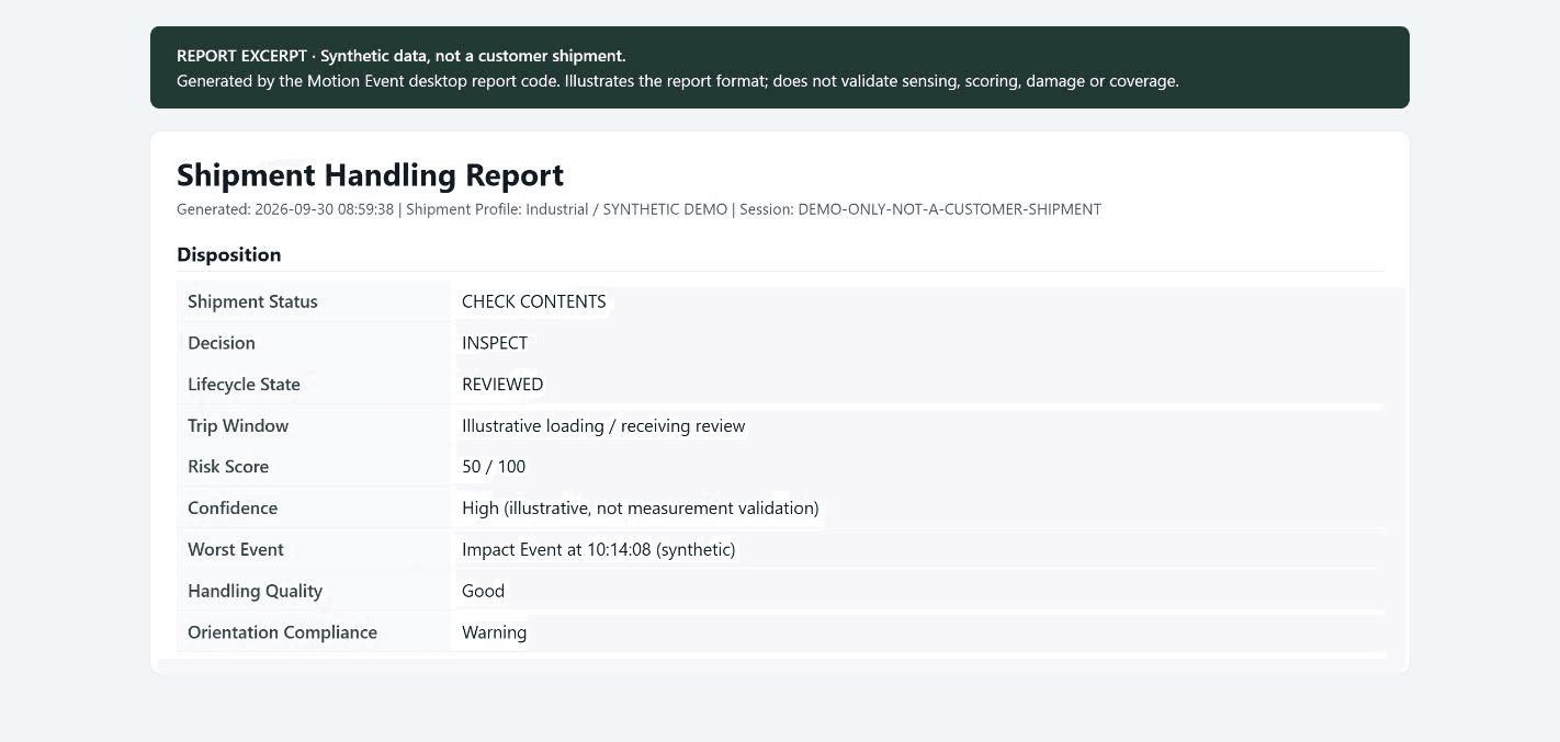
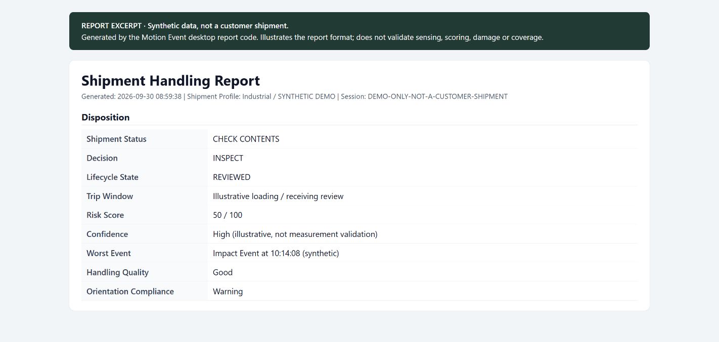
Featured / LoadClarityDelivered is only part of the story.Explore shipment handling →Actual report output with synthetic data; not a customer shipment.
Start with your problem
What do you need a better answer to?
Understand shipment handling
Choose the record your receiver needs.
A visible tip indicator and an electronic event history answer different questions. Compare GravPin and LoadClarity before choosing a demonstration.
A searchable live timeline, event severity, incident grouping and an exportable handling report.
How you use it
Choose cargo settings, inspect the reasons behind a flag, mark the review stage and share the evidence packet with inspection documents.
Equipment needed
A powered recorder and the supported companion software. The current desktop build uses one active sensor.
Choose it when
You need handling details, review guidance, recording context and checks for later file changes. Stored replay currently feeds the raw log, not a rebuilt trip score.
Both are working prototypes available for demonstration. Fit, specifications, price and production supply are agreed for the intended use. Neither an indicator nor a recorded event establishes damage or responsibility by itself.
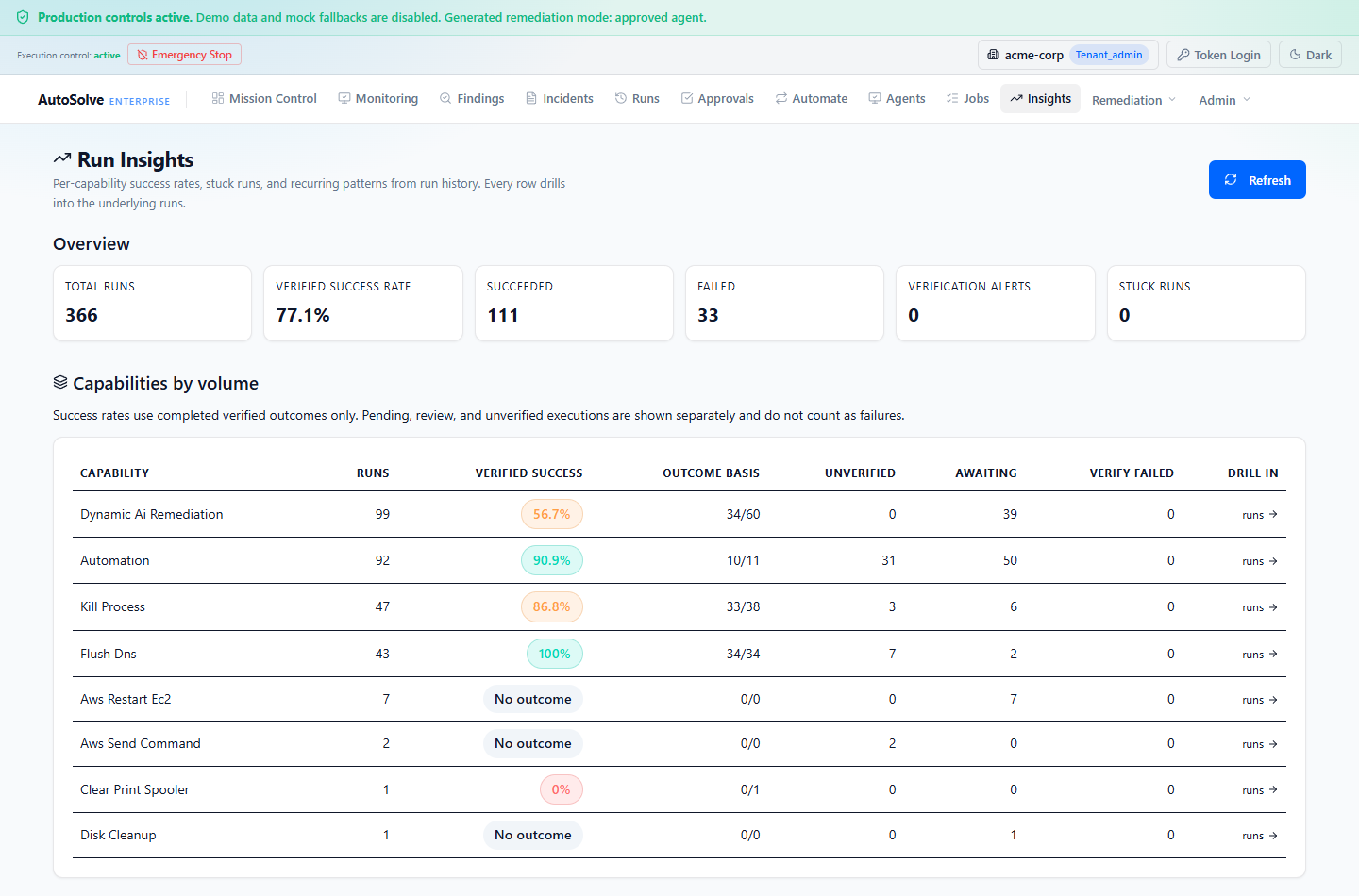
Application and report captures show real software output. LoadClarity uses synthetic report data; AutoSolveAI metrics are from a test environment. Other hardware artwork illustrates operation and does not depict production hardware.
Software by LandSight Solutions
ParcelMetric
Parcel discovery, owner portfolios, comparable sales, deal pipelines and government operations in one application. Explore AI-assisted map actions, valuation history, district scenarios and research exports.
Built by Dakota through LandSight Solutions LLC. Data downloads and screening research are available alongside the software.
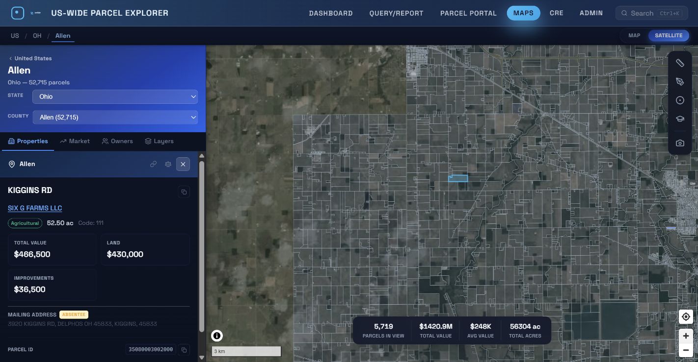
Ownership, acreage and valuation alongside parcel boundaries and satellite imagery. Local application capture, Allen County, Ohio, September 2026.
Meet the builder
A direct conversation with the person building it.
I’m Dakota Vogt, a software engineer, inventor and founder of LandSight Solutions LLC in Lima, Ohio. I build the hardware and software behind these independent projects. Bring a use case for a demonstration, a defined pilot, or a discussion about manufacturing, licensing or distribution.